Showing posts with label Namibia. Show all posts

Monday 30 March 2015

African “Quadripoint” Only Place on the Earth, Where Four Distinct Territories’ are Touched


There’s only one place on the earth where the corners of four countries come together. However you’ve heard about number of instances where the borders of 2 or 3 nations touched, but the distinct territories are very rare confluence of a 4 nations coming together on one spot 
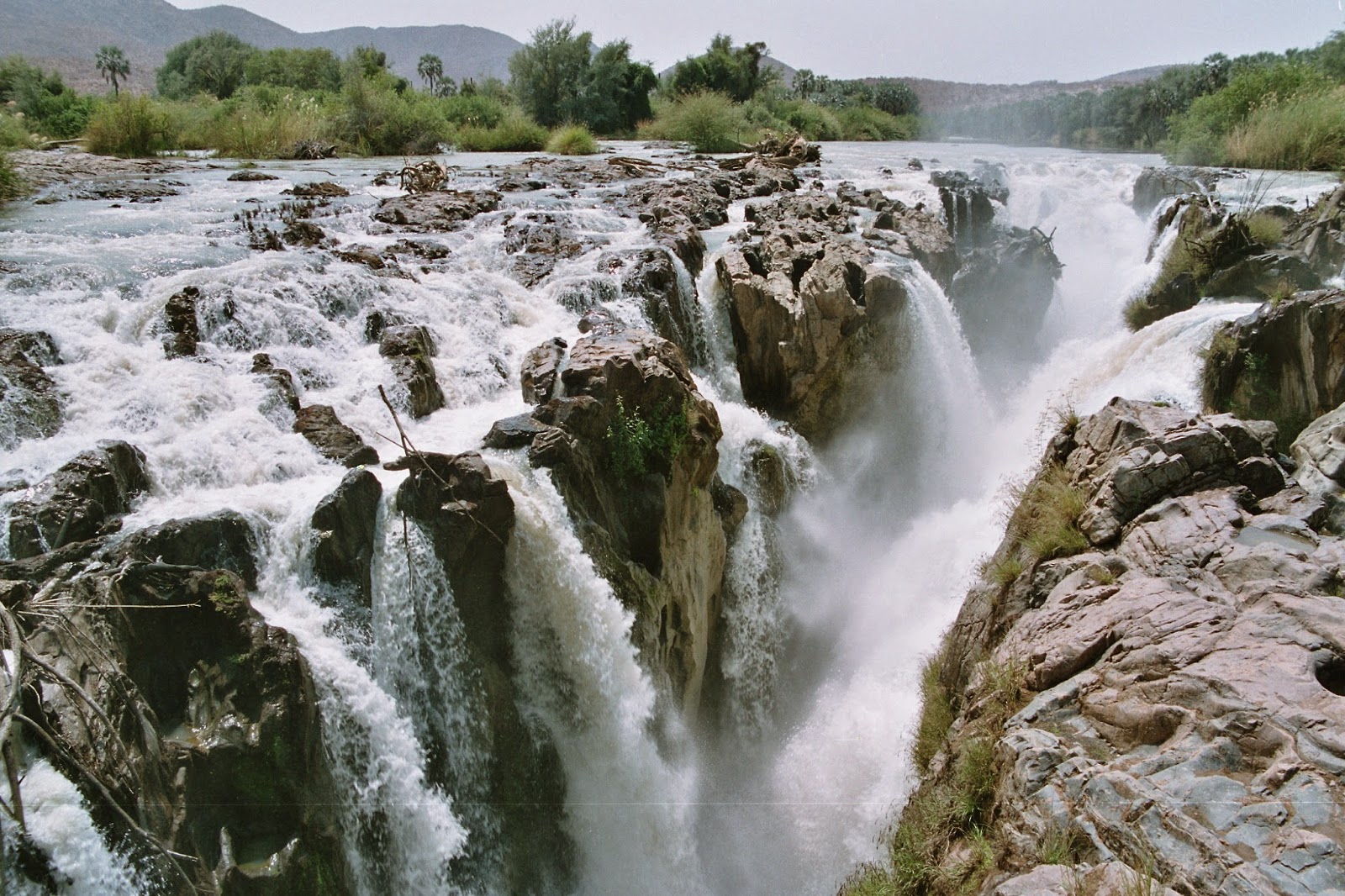
only exists in Africa where the corners of Zambia, Zimbabwe, Botswana, and Namibia meet. It may not have been used before 1964 when it was perhaps invented by the Office of the Geographer of the United States Department of State. It is a popular tourist spots where states come together which are usually decked out with monuments and bronze medallions, the African quadripoint sits in the middle of a river that cuts between the countries. 

It has been theorized that the point is not a true quadripoint but instead a pair of tri-points separated by thin strips of real estate. Irrespective of the quibbling, the understandable jurisdictional headache of having four countries so close to one another has resulted in some conflict. Moreover at one point the ferry that carried individuals across the river from Namibia to Botswana became a point of contention, with both countries laying claim to the transport. A little amount of fighting broke out but it was rather subdued for an international incident. 

Though numerous maintain that slight changes in the flow of the Zambezi river and the exact geographical borders have eliminated an actual quadripoint, the countries are all so close that the only difference is academic. If you visit the border at any time you will find hundreds of trucks lined up to cross on the ferry. It can take days and even weeks for some truckers to get between the borders because of the backlog. The best way to experience the Kazungula is to cross on foot, in which case you can skip the queue of trucks and jump on the ferry relatively quickly. Well, Kazungula is in general a lovely place where you can go to relish the scenery and at the very least, contemplate the feeling of being surrounded by four different countries (almost).
                                                     Source: Charismatic Planet

Saturday 31 January 2015

Epupa Falls Namibia and Angola


The border river between Namibia and Angola, the Kunene, plummets down a 40 metre deep gorge at the Epupa Falls close to the nearby village of Epupa, it is one of Namibia’s five perennial rivers.. The gorgeous Epupa Falls also recognized as Monte Negro Falls in Angola. The fall is beautifully created by the Kunene River on the border of Angola and Namibia in the Kaokoland area of the Kunene Region. Though the river is only .05 kilometer wide and drops a series of waterfalls spread over 1.5 kilometers with the greatest single drop being 37 m. 

The name “Epupa” is a Herero word for “foam” in reference to the foam created by the falling water. The specialized nature of the steep riparian habitat and it is the locus of endemism for a number of fish and other aquatic species. If you want to access the falls, then you need a 4WD vehicle to reach them from Opuwo. Despite of difficulties, the falls is a major tourist attraction in Namibia. The surrounding area of falls is unspoiled with lovely fig trees, baobabs, makalani palms and coloured rock walls framing the falls. 

The journey of Opuwo to the Epupa waterfall is having real worth of two to three hours trip to the falls on four wheel drive. The track is not in good condition and sometimes extremely difficult to accept. The real majestic beauty is enchanting, even you can see Kunene valley. It gives you a feel of discovering a piece of heaven. Therefore Kunene region is very dry the threat of malaria is minimal, and extreme dangerous are the crocodiles in the Kunene River thus swimming in the river is not advisable. Epupa Falls is a prevalent stopover for overland trucks and organized safaris, and awkwardly can get swamped with tourists. The trip to Epupa falls is not recommended from Dec to April due to rain season makes the trip extremely difficult.  

Sunday 21 September 2014

Deadvlei Namibia


Deadvlei is a white clay pan located nearby the more famed salt pan of Sossusvlei, inside the Namib-Naukluft Park in Namibia. This is also written DeadVlei or Dead Vlei, which means "dead marsh". In English this is called dead and Afrikaans vlei, a lake or marsh in a valley between the dunes. The pan also is referred to as "Dooie Vlei" which is the completely Afrikaans name. When you’d be search on Google there’re numbers of references to the site, its name often being translated speciously in terms such as "dead valley"; a vlei is not a valley which in Afrikaans is "vallei". Nor is the site a valley; the pan is a desiccated vlei. Well; Dead Vlei has been claimed to be surrounded by the highest sand dunes in the world, the highest reaching 300-400 meters often called "Big Daddy" or "Crazy Dune"), which rest on a sandstone terrace. The clay pan was shaped after rainfall, when the Tsauchab river flooded, generating short-term shallow pools where the profusion of water allowed camel thorn trees to grow. 

Hence when the climate changed, drought hit the area, and sand dunes encroached on the pan, which blocked the river from the area. Then the trees died, as there no longer was sufficient water to survive. There’re few species of plants remaining, such as “Salsola” and clumps of “Nara”, adapted to surviving off the morning mist and very rare rainfall. The remaining skeletons of the trees, which are believed to be about 900 years old, are now black because the extreme sun has burned them. Nevertheless not petrified, the wood does not decompose because it is so dry.