Popular day trip from San Juan, El Yunque combines all the magic of a rain forest majestic trees, giant ferns, and mysterious peeps and trills emanating from the dense foliage in the rugged Luquillo Mountains. As the only tropical rain forest in the United States National Forest System, El Yunque provides paved trails that are easy on children and inexperienced hikers. It even offers a drive-through option for windshield tourists who can enjoy the misty landscape and roadside waterfalls along Route 191, the only road through the 28,000-acre forest. But El Yunque, considered sacred by the Taino Indians, is indubitably best experienced on foot. This place is home to thousands of plants, including 240 tree species (23 of which are found nowhere else) and 70 orchids. El Yunque has 13 hiking trails covering 23 miles of varied terrain.
The hardy can summit El Toro and take in spectacular 360-degree views of the forest, but even small children can handle the less-than-a-milelong Big Tree Trail that wends past La Mina Falls, whose cascades plummet 35 feet into a cool, refreshing pool of water the perfect plunge on a hot day. The 3-mile El Yunque Trail is considered the most rewarding. The farther away you can get from the cruise-ship crowds, the more jungle magic you’ll find.
There are no large creatures here such as monkeys or panthers, but there are plenty of small ones that you may not see but will certainly hear. Millions of tiny coqui, the endemic tree frog that is Puerto Rico’s mascot, live here, trilling “co-KEE” sporadically until evening approaches, or after a rainfall when it turns into a full-blown chorus. The most prized sighting is the bright-green Puerto Rican SABA parrot, once abundant but now quite rare and highly endangered. After the rain forest, it’s only 8 miles north of Luquillo Beach, a much-photographed palm-lined crescent of white sand and calm turquoise waters that attracts lots of local families from San Juan. Follow them: They know which roadside stand sells the best alcapurrias, plantain fritters stuffed with seafood.


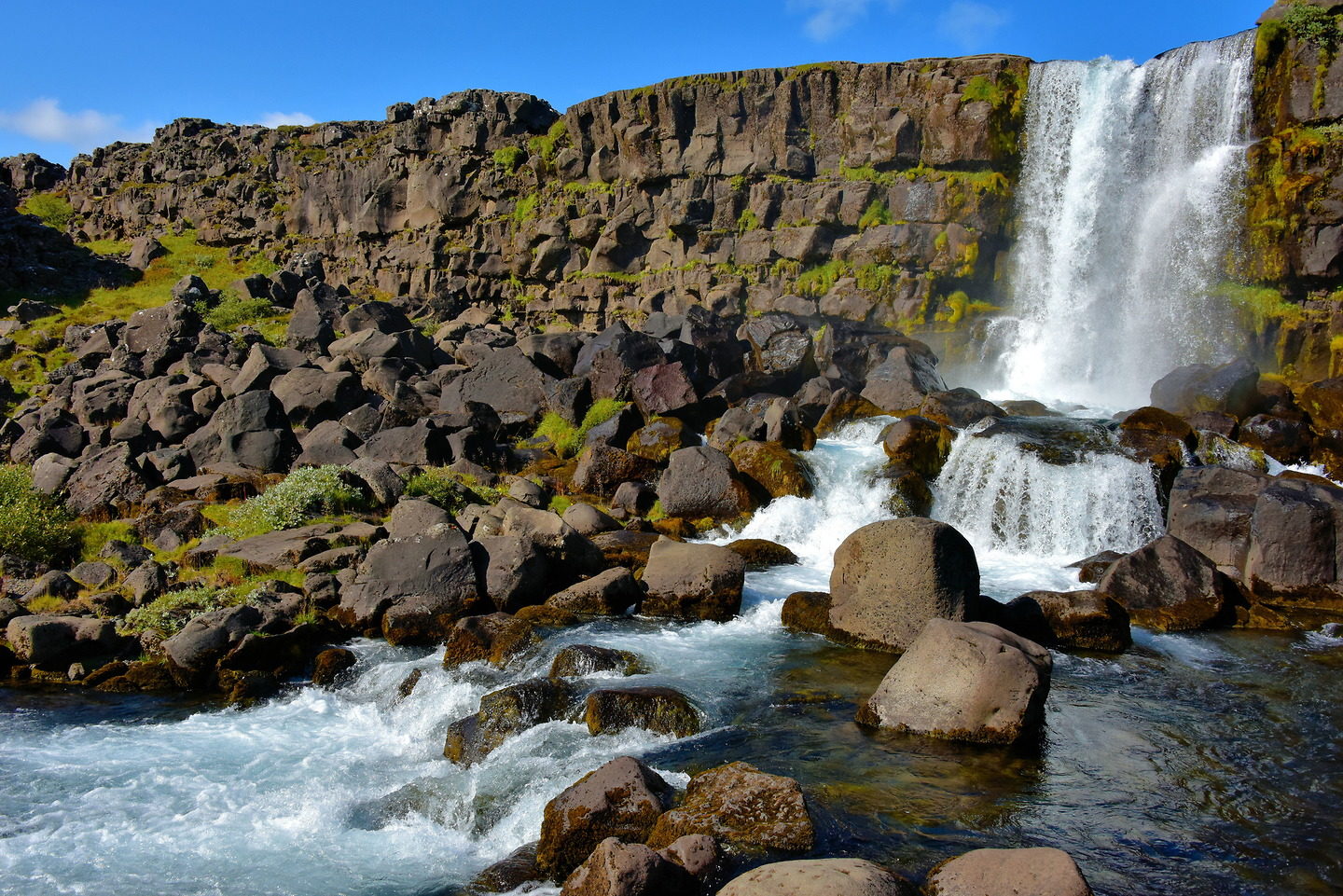


 Öxarárfoss Waterfall Iceland is situated in Þingvellir National Park. The stunning 20-meter waterfall flows from the river Öxará over the Almannagjá.")


