In the Arabian Sea, approximately 25 km off the coast of Balochistan, a large hidden uninhabited island lies, which is just 7 km long and 2.5 km wide. That is famous as Astola Island (Island of the Seven Hills) with sheer white cliffs surrounded by warm turquoise water. A beautiful slender white beach runs around the periphery of Astola Island. The cliffs shrink inland to make secluded cloves almost like in the Mediterranean.
It is also known as Jezira Haft Talar, which has long been Pakistan’s hidden gem. Astola Island is a mainly untouched site that has all the hallmarks of a tourist getaway. Many thanks to its remote location, the superb beauty has remained unblemished. In 325BC Alexander the Great has sent Arrian people to explore the Arabian Sea and Gulf Sea. However, the Sailors Fleet were frightened at the weird tales about a barren island. The Arrian called it Nosala, and also named it as Carmina, Karmine.
If someone wants to go to Astola Island, then he has to 7 hours of travel from Karachi to Pasni, almost 40 kilometers from Astola Island. Pasni is a seaport in the Arabian Sea, from here, the ultimate destination is 5 hours by boat. Astola the Pakistan largest offshore Island has no facilities only an old lighthouse and a small masjid.
Travelers who visit the secret place of Pakistan, usually camp at the beach and go snorkeling or deep-sea diving and enjoy it chasms and crevices, that is several feet wide. There are several natural caves and coves on the Astola island. The south side slopes off progressively whereas the north face is cliff-like with a sharp vertical drop.
Fisherman catching lobsters, crabs, and oysters between May and September. The best time to visit Astola Island in May and September when a gentle breeze blows throughout the day and the color of the water and pattern of the beach keeps changing with the tide. The water is so clear that one can see the seabed to a depth of about 20 feet. From Mid-June to Mid-August, the moon soon starts, which becomes Island is inaccessible by boat as the sea becomes too rough.
This is mostly a barren island due to the unavailability of freshwater, hence, you will not see too many trees there except a few bushes and scrubs. There is no vegetation on the Island. Nevertheless, plenty of marine life such as corals, dolphins, whales, and diverse fish species. The majestic sandy beaches offering nesting grounds for different bird species such as gulls, godwit, curlews, coursers, plovers, sanderling, endangered green sea turtle and the hawksbill turtle (Eretmochelys imbracata). Therefore, the saw-scaled viper (Echis carinatus astolae) is endemic to the Astola island.
Unfortunately, legal and illegal fishing activities has made big damage to the island’s ecology. The fishermen dump waste and wrecked nets on the coast that gets tangled in the corals and damage them. The sooty gull (Larus hemprichii) once had a main breeding colony on the Astola island, has been getting rid of because of rats introduced from a decade. However, the wild cats left the island to dig out turtle nests and eat the eggs and hatchlings. Furthermore, some ancient ruins of Hindu temple located on the Island known to the Hindus as Satadip.
In 2017, Pakistan declared Astola Island first-ever Marine Protected Area. However, this Asian country is yet to draw up a proper plan on how to handle pollution problems. Therefore, this declaration put some positive aspects, but the ignorance of management raises questions about the protection of the island and the associated biodiversity that is facing multiple issues. In 1982, the Pakistan Government installed a lighthouse on the island for the safety of passing vessels, eventually, it was replaced by a solar-powered in 1987.
The WWF for Nature in Pakistan argued that the development of a management plan for the Astola Island would take time. Pakistan needs to take some time into consideration the socio-economic aspects of local fishers and issues related to livelihood needs. Astola Island needs good practices to be promoted and bad practices should be discouraged. They believe that it is possible to protect the island’s ecology and biodiversity and at the same time promote ecotourism on the island.
Product You May Interested

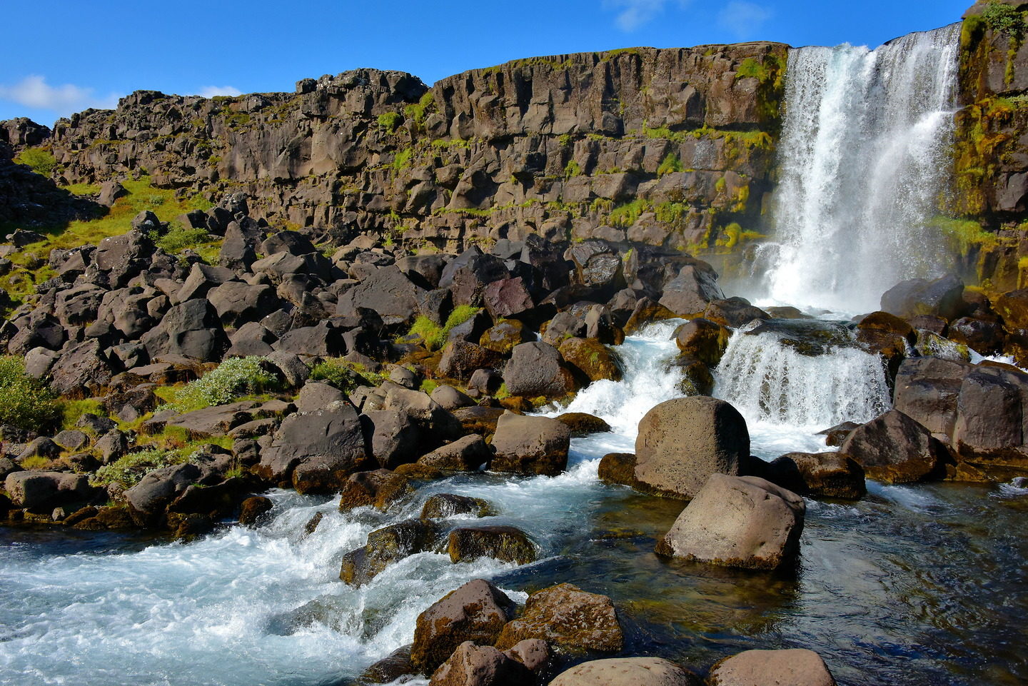


 Öxarárfoss Waterfall Iceland is situated in Þingvellir National Park. The stunning 20-meter waterfall flows from the river Öxará over the Almannagjá.")


