Wednesday 20 August 2014

Oresund Bridge; A Mega Structure between Denmark And Sweden


For peoples of Sweden and Denmark, communication reached a new height of ease when the governments of both countries took a major stride in “bridging the gaps” with the support of the Oresund Bridge. Both countries government were clear in their priorities of having a bridge which should be elegant and could keep the ecological balance intact. They were really interested in the initiative to be technically realistic and financially stable too. It was only when the plan fulfilled all these norms that the steps to this ambitious project were taken up.  

Finally In 1991, the governments of both counties decided to construct a bridge to connect the two countries across the Oresund Strait. The sixteen kilometer long Oresund actually a Link between Malmo, Sweden, and Copenhagen, Denmark. The bridge was completed and opened to traffic in 2000 and it has eased the trade and travel between these countries. It was started in 1995 and came to a completion in August 1999. The history tells us, Denmark and Sweden were linked once more 7,000 years after rising sea levels accompanying the end of the Ice Age severed the dry-land connection 
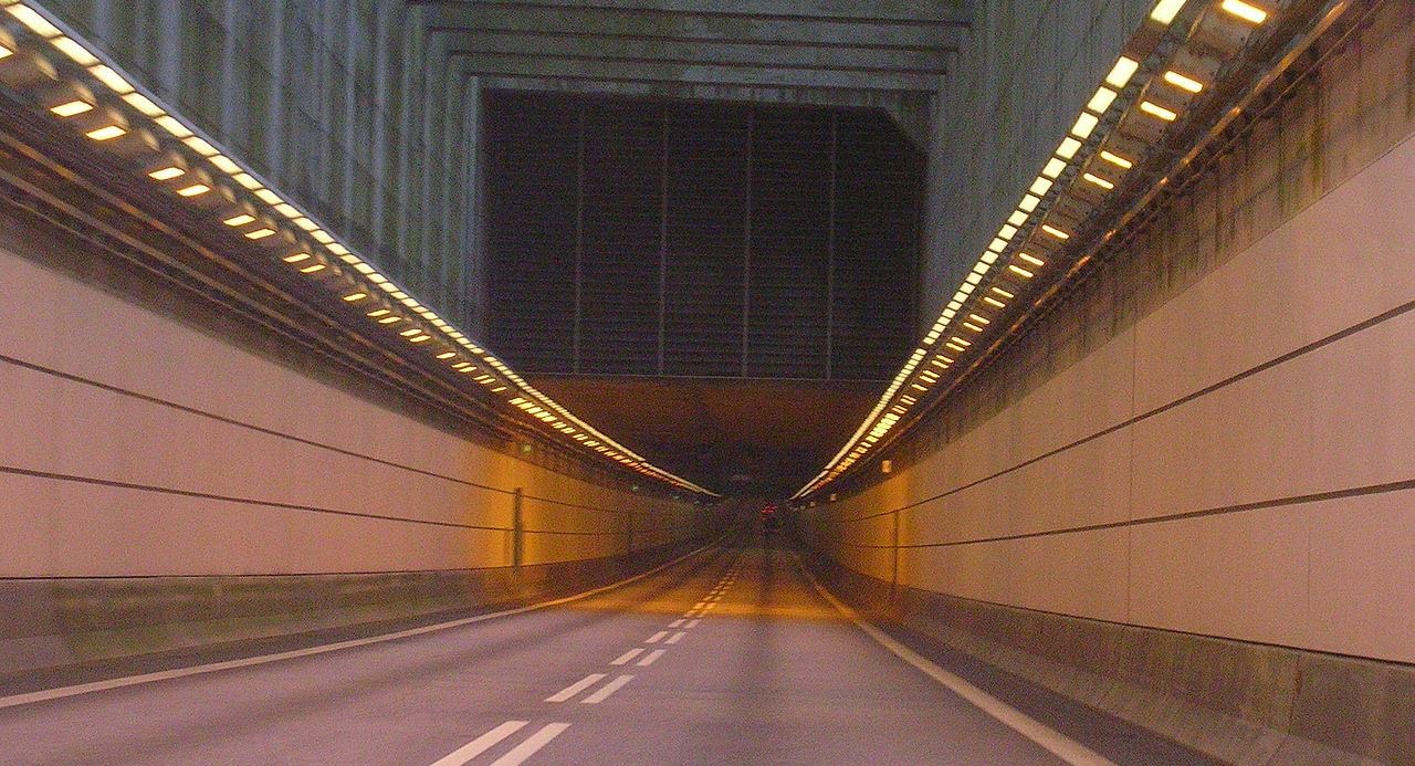
between the two. The Oresund Bridge stood out in the entire Europe being one of the longest cables supported bridges which is interconnected with road and rail. It is for this reason that the Oresund Bridge also serves the purpose of a tourist destination. 

If you visit Sweden or Denmark, you’ll be amazed that how wonder of civil engineering, geotechnical engineering, fire engineering, and risk scalability, the Oresund Bridge. Moreover; in between Sweden and Denmark comprises of a four kilometers long tunnel under a 4 km long artificial island and not to forget an eight kilometers long cable supported bridge which supports both road ways and European heavy railways. The Oresund Bridge is the longest rail and road bridge in Europe with a length of 490 metres. It has eased the life of both countries either travels by rail or road. It connects two major destinations of both countries, namely Malmo in Sweden and Copenhagen in Denmark. 

The Oresund Bridge was a result of the joint efforts of Hochtief, Skanska, Højgaard & Schultz and Monberg & Thorsen. Without any doubts, there’re day night efforts behind the construction of Oresund Bridge, but unfortunately faced two unforeseen setbacks in the form of 16 unexploded bombs of the World War II found on the sea bed and tunnel segments getting skewed inadvertently. Due to this the completion time could not meet and construction took place over three months before the schedule date. 

The initiative of building the artificial Danish island of Peberholm was in order to avoid air traffic disruption to the adjacent Copenhagen International Airport and to enable the ships on the strait to steer clear in both good and severe weathers. The Oresund Bridge elevated part covers more than half of the gap between two countries, weighs 82,000 tonnes and comes with a four lane road which underneath covers two railway tracks. Apart from being a creational wonder, as the Oresund Bridge has contributed a great deal in encouraging the communication and economic prosperity of the region, it received the IABSE Outstanding Structure Award in 2002 as well.

The Oresund Link has three main segments. On the Denmark side, the link starts with a 3,510 meter underwater tunnel, which emerges from the water onto a roadway on a 4,055 meter artificial island, Peberholm, which appears as a lively white shape to the south of the natural island in the scene. The cable-supported Oresund Bridge, which is stretches 7,845 meters across the eastern part of the Strait toward Sweden, building a thin white line across the image. Moreover; deep water appears dark blue, shallow water appears bright blue, vegetation appears green, and developed or paved areas appear white. Several white specks in the waters of the Strait are boats or ships.


Oresund Bridge - Denmark To Sweden (Mega... by itsmartin

The Royal Gorge Bridge, A Crowd Puller Destination of Colorado United States


The Royal Gorge Bridge is a popular tourist attraction near Cañon City, Colorado, within Royal Gorge Bridge & Park 360 acre theme park. The Royal Gorge is a canyon on the Arkansas River near Cañon City, Colorado and is often called the "Grand Canyon of the Arkansas." The bridge deck crosses the Royal Gorge 955 feet above the Arkansas River, with a width of 40-50 feet at its base, a few hundred feet at its top, and a depth of 1,200 feet in places, the 10-mile-long canyon is a narrow, steep gorge through the granite of Fremont Peak. From 1929 till 2002, the bridge held the record of highest bridge in the world from 1929 until 2001; the bridge was measured from deck to the river below. In 2003 the record goes to the Liuguanghe Bridge in China, as its height of 1,201 feet; though, the Royal Gorge is still the highest bridge in the United States.

Well, it is a suspension bridge with a main span of 938 feet. The bridge is 1,260 feet long and 18 feet wide, with a wooden walkway with 1292 planks. The bridge is suspended from towers that are 150 feet high. It was formerly among the 10 highest bridges in the world and remains the highest in the USA. The bridge was constructed in 6 months, between June 5, 1929, and late November 1929, at a cost of $350,000. To pay for construction, it was built as a toll bridge, and it was listed in the National Register of Historic Places in 1983. Actually the bridge was not built for transportation purposes; in its place, it was built with the intent that it serve as a huge public puller place and has continued to be one of the most-visited tourist attractions in Colorado since its construction. 

The road is designated as Fremont County Road 3A. The Royal Gorge Route Railroad runs under the bridge along the base of Royal Gorge. The cable-stayed Viaduc de Millau, finished in December 2004, is presently the tallest bridge in the world, at 1,118 feet, measured from the ground to the top of the bridge piers. Though, its deck is only 885 feet above the River Tarn. 

Well, on June 12, 2013, the Royal Gorge Bridge & Park was devastated by a wildfire. Luckily the bridge suffered only minimal damage only some wooden deck planks burned; all but four of the park's 52 buildings were destroyed. The Incline Railway was severely damaged and the Aerial Tram was destroyed. Park executives announced on June 13 that the bridge will be repaired and the park re-constructed, but there was no timeline for reopening the bridge and/or park.

Baatara Gorge Waterfall Lebanon

When Nature displays its manifold wonders in most unbelievable formations throughout on the earth planet. The Lebanon’s Baatara Gorge Waterfall has a unique formation which re-establishes this widely famous truth once again. This scarce waterfall visible during the ice melting months of March and April is actually located in the Balaa village which falls in between the Lebanese cities called Laqlouq and Tannourine. The location of the Baatara Gorge Waterfall is generally popular amongst the local people as the “Three Bridge Chasm”.

In 1952, Baatara Gorge waterfall was first made public by Henri Coffiat, who was a bio-speleologist by profession. He reported the existence of this exotic waterfall which is 255 meters high. Moreover; when the summer seasons beings in, the ice of the Mount Lebanon starts melting. The waterfall location is made all the more remarkable because of the three naturally formed bridges which hang one on top of the other which move inside in to the chasm of Mount Lebanon. 

The Baatara Gorge Waterfall cascades down from three bridges. The hole is famous to be made limestone belonging to the Jurassic age. The stunning waterfall is a great tourist attraction in Lebanon. It is claimed that age of the limestone is identified to be approximately 160 million years. 

Some researchers have also performed dye experiments on the water of the Baatara Gorge Waterfall only in order to show that the water once again come out under sun in another village called Mgharet al-Ghaouaghir which is situated near to the village of Balaa. There was also a suggestion to fix safety equipment’s for folks interested in sports who accessed the region. Though, this suggestion was soon nullified by the authorities as that would ruin the natural beauty of the place.

The geologists say about the creations of this stunning landform, it is understood that the top most bridge of the gorge may have had the earliest presence. Maybe it was following a number of erosions and collapses that the other two bridges may have got formed. The Gorge of the Baatara Gorge Waterfall is still acknowledged to be constant changing because the severity of the winter ice several a times leads to breaking of huge chunks of the pothole from both sides of the wall. 

There’re number of warnings issued to visitors nearing the pothole, and these warnings are there to prevent them from going near to the mouth as it may be slippery and also warn them to access the bridges, because they always bear the risk of collapsing under the body weight of numerous travelers together. Else, the Baatara Gorge Waterfall is a charming destination for adventurous tourists who can also relish the nearby Tannourine Cedar Forest Reserve or the mountain trail of Mount Lebanon. Moreover; there’re camping sites in the region too which can enhance the experience.