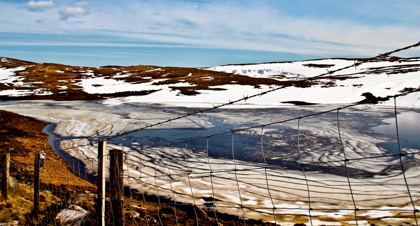
Tuesday 15 July 2014

“Badab-e Surt” A Natural Wonder Contains Step Terraced Made of Travertine


There’s a natural wonder in Iran, called Badab-e Surt situated in Mazandaran Province in northern Iran, 95 KM south of the city of Sari. The Iranian site comprises of wide range of stepped terraces made of travertine, a sedimentary rock shaped more than thousands of years by deposition of carbonate minerals dissolved in water flowing from mineral hot springs. The beautiful Badab-e Surt's terraces are made happed due to two distinctive mineral springs with dissimilar natural characteristics, situated at 1,840 meters above sea level. Badab-e-Surt is considered one of the most incredible sights in this region that attracts millions of Iranian and international tourists to its eye-catching nature scenery and fine weather.

Therefore; the first spring encompasses very salty water that gathers in a small natural pool, which water is believed to have medicinal properties, particularly as a cure for rheumatism and certain types of skin diseases and skin conditions. The 2nd spring has a sour taste and is predominately orange. Stepped travertine terraces are present on numerous places on earth.

But the other examples include the Mammoth Hot Springs in Yellowstone National Park, the White Water Terraces and Huanglong Scenic and Historic Interest Area both in China, US & New Zealand, but the most renowned of them all is “Pamukkale in Turkey which is tourism hub”. Nevertheless, different the aforementioned hot spring terraces, which are mostly shades of whites and blues, the travertine terraces of Badab-e Surt are bright orange and red. This is due to the presence of large amounts of iron oxide sediments.

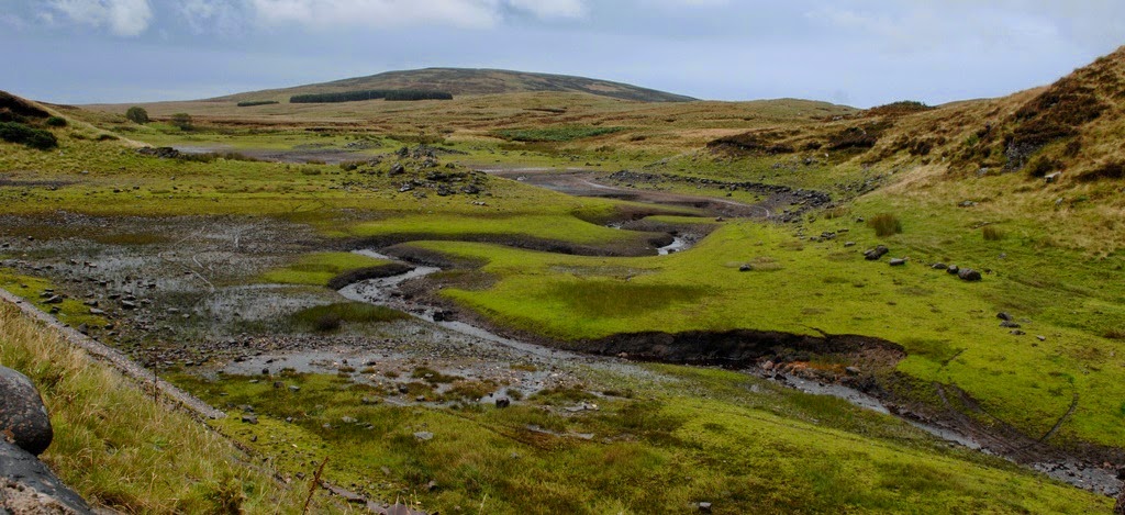
The Orost village and Badab-e-Surt Spring are easily accessible via Semnan with paved way and vehicles being capable of utilizing the dirt roads leading up to the spring. The best time to visit this place is during either sunrise or sunset when the sun’s orange reflection blends in perfectly with the colored spring. The Badab Soort Spring has been registered as a national heritage site. Due to its natural and artificial landmarks in Iran, the Badab-e-Surt Spring was in danger of continuing erosion and eventual demise. But many thanks to the efforts of Lavasan’s Hiking Committee, and Nader Zarrabian, who’re working and has been done their job in order to restore the natural atmosphere of the Spring. However; countless people visit Mazandaran to shed their exhaustion of city life relaxing on the beaches of the Caspian Sea or staying in the jungle cottages, off the track sites such as Badab–e-Surt springs can also create a lovely memory in the minds of nature lovers who visit northern Iran.

 Source: Charismatic Planet


Sunday 13 July 2014

Dry Falls: The Largest Waterfall That's No Longer Exist in Washington United States


Dry Falls located in central Washington, on the opposite side of the Upper Grand Coulee from the Columbia River, which is a 3.5-mile long and 400-foot high scalloped precipice. The Dry Falls tells the story of amazing geological phenomenon. From lava flows to the Ice Age floods, and from the Native American legacy to the recent discovery of how Dry Falls was created, the Dry Falls story is revealed to tens of thousands of visitors each year.  As the name suggests that Dry Falls is no longer carries water, but at one time, it was once the largest waterfall that is famous to have existed on earth. In it heydays Dry Falls is five times the width of the Niagara Falls and more than twice its height. Dry Falls is said to be a remarkable example of "headward erosion". The Dry falls are on an ancient course of the Columbia River.

It is guessed that during the last ice age, disastrous flooding channeled water at 65 miles per hour through the Upper Grand Coulee and over this 400-foot rock face. At this time, it is projected that the flow of the falls was 10 times the current flow of all the rivers in the world combined. Almost 20,000 years ago, as the glaciers moved south through North America, a big ice sheet dammed the Clark Fork River near Sandpoint, Idaho. As a result, a substantial portion of western Montana flooded, forming the enormous Lake Missoula. The water covering 3,000 square miles of northwest Montana, about the volume of Lake Ontario, was locked behind this glacial dam.

Finally, rising water in Lake Missoula broke through the ice dam generating a catastrophic flood that spilled into Glacial Lake Columbia, and then down the Grand Coulee. The huge torrent (recognized as the Missoula Flood) ran wild through the Idaho panhandle, the Spokane River Valley, much of eastern Washington and into Oregon, flooding the huge area that is now the city of Portland under 400 feet of water. The great force of the Dry falls eroded away so much earth and rock, that the precipice fell back by 15 miles to its current position. Dry Falls is one of the great geological wonders carved by Ice Age floods is now a stark cliff, 400 feet high and 3.5 miles wide. Today, it overlooks a desert oasis filled with lakes and abundant wildlife.

Once the ice sheet that clogged the Columbia melted, the river reverted to its normal course, leaving the Grand Coulee and the falls dry. Nowadays, this gigantic cliff can be viewed from the Dry Falls Interpretive Center, part of Sun Lakes State Park, and located on Route 17 near the town of Coulee City. It is usually accepted that this process of ice-damming of the Clark Fork, replenishing of Lake Missoula and following catastrophic flooding happened dozens of times over the years of the last Ice Age.

Source: Charismatic Planet 


Saturday 12 July 2014

Gardens of Marqueyssac at Vezac France


The Château de Marqueyssac is a 17th-century gardens located at Vézac, in the Dordogne Department of France. The château was built at the end of the 17th century by Bertrand Vernet de Marqueyssac, Counselor to Louis XIV, on cliffs overlooking the Dordogne Valley. The boxwood trees plantation works started way back in 1860’s which have been carved in magnificent shape, and several in groups of rounded shapes like flocks of sheep. Therefore; with the passage of time several new plants added in the gardens, like linden trees, cypress trees, and stone pine from Italy, and the cyclamen from Naples. 

Unfortunately after 1950’s the gardens were not well maintained. But in the 1996, the gardens was restored to their old character and added some new features including an alley of santolina and rosemary and, in the romantic spirit of the 19th century, a course of water descending from the belvedere and ending in a cascade. The gardens were opened to the public in 1996. Since then gardens have been classified amongst the Distinguished Gardens of France by the Committee of Parks and Gardens of the French Ministry of Culture. It is well believed by nature lovers that The Gardens of Marqueyssac is one of the world's most magnificent gardens. 

The Gardens of Marqueyssac is the greatest Gardens of the Périgord. The beautiful romantic and attractive gardens of Marqueyssac provides over 6 KM of shaded paths bordered by 150000 hand-pruned box trees a hundred years old, the whole embellished with belvederes, waterways, rockeries and grassy clearings. The Belvedere, at 130 meters above the river, gives an exceptional view of the Dordogne valley with its castles and some of the most beautiful villages of France. The Gardens of Marqueyssac also offers splendid views of the Dordogne valley between Beynac and La Roque-Gageache. The garden is attractively decorated with belvederes, rocks, grass glades, water, dry-stone huts, roundabout, a Gothic chapel, and playgrounds for children. The sparkling, rounded forms of the garden are cautiously manicured by active attendants, maintaining a design that was first developed over 300 years ago.

Source: Charismatic Planet 


Loughareema Lake Ireland


Loughareema is a distinctive lake in Northern Ireland located on the coast road, just a few miles from the seaside town of Ballycastle, the lake is vanishes from time to time. The water does disappear and reappear within hours. For this reason, the lake is known as the Vanishing Lake. The lake sits on a leaky chalk-bed with a sinkhole that often gets blocked up when peat washes into it. During the rainy season, water from surrounding land fills up the Loughareema depression. As a result, the depression turns out to be a lake. Though, the lake vanishes once the blockage is cleared. The lake drains quickly underground and a passerby who is not aware of the lake and its disappearing act would never even know it existed in the first place. The Loughareema Lake can vanish within just few hours of time. This phenomenon has made the Vanishing Lake one of the unique lakes in the world.

Interestingly, the road to Ballycastle runs right through the lake, though the modern road sits high enough to avoid flooding. It may be possible that the road engineers who constructed the road were misled by the lake’s trickery. In earlier days the route was often under water, occasionally for weeks on end, making crossing precarious. It was during one particularly bad state of flooding in 1898, a certain Colonel John Magee McNeille, apprehensive to catch the 3 pm train from the town, convinced his coachman to drive a covered wagon pulled by two horses through the lake. 

When they reached the middle of the lake, the cold water reached the bellies of the horse that became nervous. The coachman used the whip; the horse went rearing up on its back legs and turned to the side. The Colonel, his coachmen and the two horses soon succumbed to the perfidious, cold waters. Since then fateful day several people have reported seeing a phantom carriage pulled by two horses and ridden by a military man on the lonely shores of Loughareema. The road has been raised about the maximum flood level and just in case, a stone wall has been created on each side of the road as it approaches the Lough so that no-one can ever meets the same watery end as Colonel McNeille did on the afternoon of 30 September 1898.

 Source: Charismatic Planet