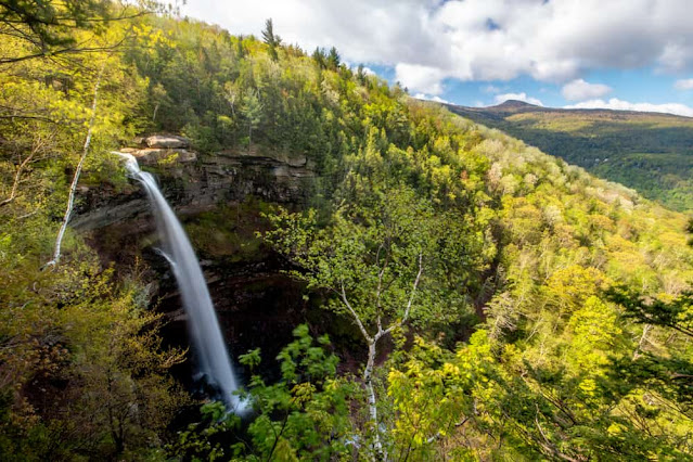
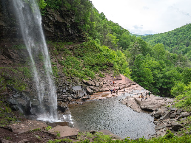
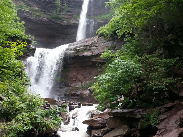
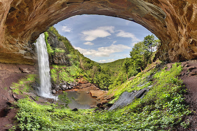
The falls, like the clove and creek with which they share a name, is a relatively recent addition to the Catskills in terms of geologic time. They evolved through stream capture at the end of the Illinoian Stage when runoff from the glacial melt that created North-South Lake began to flow away from the nearby headwaters of Schoharie Creek and down the steep slopes of the newly created clove. The rushing waters of what would become known as Spruce Creek eroded a natural amphitheater at roughly 2,000 feet (609 m) on the south slope of South Mountain. While the falls' existence was known by indigenous peoples of the Hudson Valley prior to European colonization, it had a minor role for them, who generally avoided the Catskill Mountains due to the limited agricultural possibilities of higher elevations, though they occasionally ventured into the mountains to hunt game. Thomas Cole populated the falls with an occasional Indian in his earliest paintings
For those not able to get too close to it, the waterfalls can be seen in their entirety in the distance from the northern approach to the summit of Kaaterskill High Peak, across the clove, and sometimes even from the fire tower on Hunter Mountain. The Kaaterskill Falls Trail was built during 1967 as the southern terminus of the popular Escarpment Trail, which runs along the ridge that bounds the Catskills to the northeast. During the late 1980s, DEC had to close the trail above the falls and build a new southern section along Schutt Road to limit the state's liability for injuries and fatalities that occurred near the falls.


No comments:
Post a Comment