You would be imagining this: a fly-in fishing adventure with wilderness solitude, pristine waters, and trophy-size lake trout and northern pike to complete a too-good-to-be-true scenario. Unfortunately, the not-so-dreamy component of a fishing holiday at the remote northern lake has often been the lodge itself—sometimes no more than a set of weather-beaten cabins that puts the rough back in roughing it. However, a new generation of Canadian fishing lodges is set to prove that you don’t need to give up on comfort and fine food as you fish the lakes of the little-visited Northwest Territories.
Just 20 minutes north by floatplane from Yellowknife, the territorial capital, Yellow Dog Lodge is an exemplar of this new breed of backcountry destinations. On Pilot Point, which sits on a rocky divide between Duncan and Graham Lakes, Yellow Dog seamlessly blends the features of a high-toned ecotourism resort and a traditional fishing camp. During the long summer days, guided day hikes take guests past mossy bogs, across trickling ponds, and through the taiga, the boreal forest of spruce and fir that covers the rocky barrens.
From canoes and kayaks, guests can explore the lakeshore and view wildlife—moose, beaver, and nesting waterfowl all make a home in this aqueous landscape. In winter, when the lodge will open on special request, the frozen lakes become highways for snowmobiles, and the silent snow-filled forests invite exploration with snowshoes and Nordic skis. With zero light pollution, the pulsing, multicolored aurora borealis puts on a fantastic display in the fall and winter sky. But fishing remains the focus at Yellow Dog Lodge. Fishing guides will help ensure even amateurs a chance to catch that big one in the deep, pure crystal-clear waters of glacier-trenched Duncan Lake.
There’s also seasonal fly-fishing for Arctic grayling, a colorful trout relative with an outsize dorsal fin that gives a good, hard fight with lots of high, twisting jumps. The comforts of Yellow Dog Lodge are the reward for a long recreation-filled day in the arctic backcountry. Perched above the lake on a rocky outcrop, the lodge provides snug guest rooms, while private chalets extend along a pristine waterfront. The lodge’s food is a point of pride and expression of passion. Owners Kathy and Gordon Gin are excellent hosts and fine cooks, and lodge meals—served family-style in the cozy dining room or, in warm weather, on the lakeside patio—are jubilant occasions that combine great food and convivial conversation.
The wood-fired hot tub offers anglers and hikers a chance to relax weary muscles before another perfect day of adventure in the Canadian Arctic. Where: 30 miles/48 km north of Yellowknife. Tel 403-668-9936; yellow do lodge, double occupancy, includes all meals, lodging, use of equipment, and round-trip transportation from Yellowknife. When: closed Oct-May. Best times: Jan–Apr for winter sports; June–late Sept for fishing; Oct-Mar for northern lights.


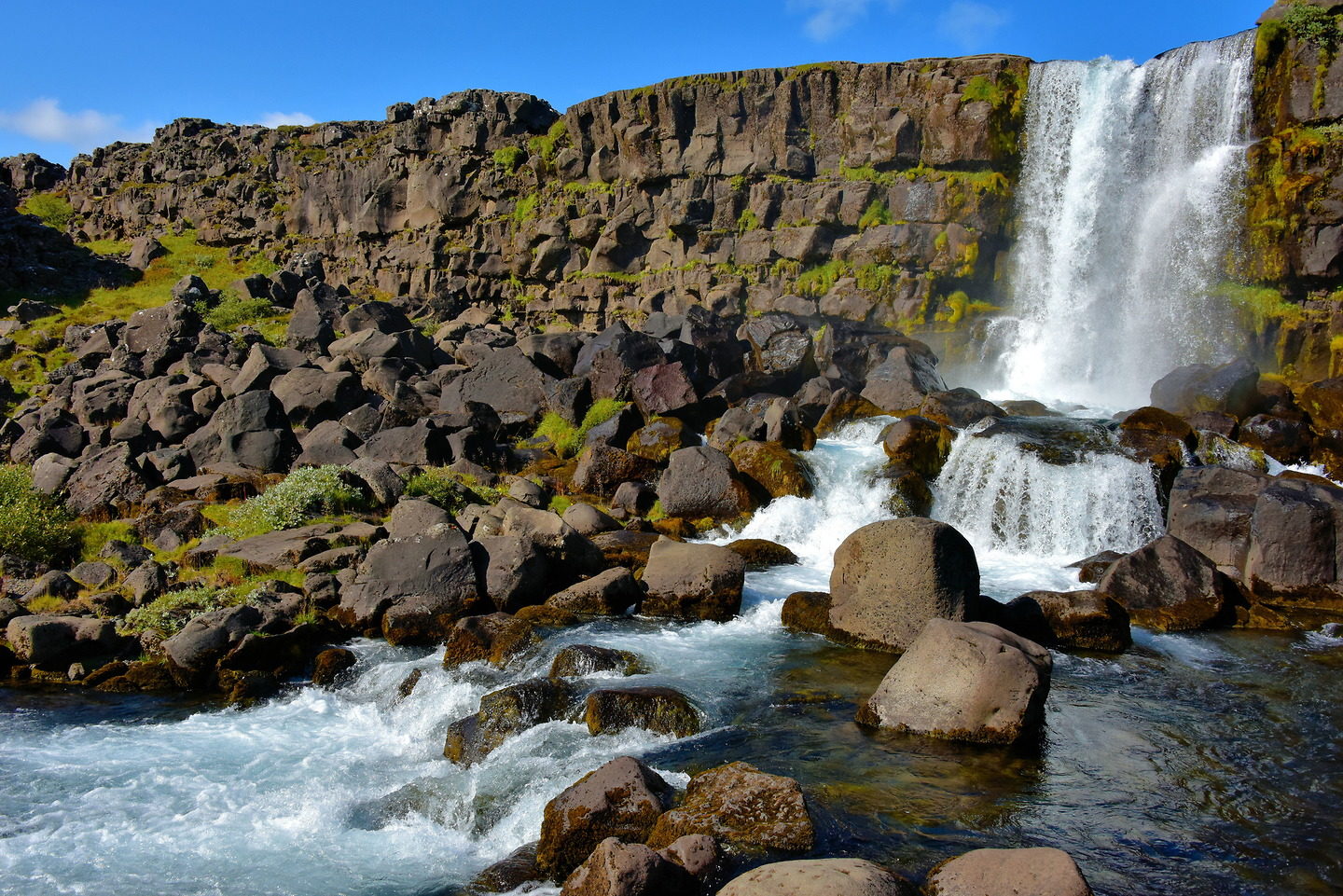


 Öxarárfoss Waterfall Iceland is situated in Þingvellir National Park. The stunning 20-meter waterfall flows from the river Öxará over the Almannagjá.")